Alert
Attention

Annual maintenance work will take place again this summer, which is why the reading rooms at the Heldenplatz location and in all collections will be closed from Friday, July 25, to Tuesday, August 5, 2025.

Due to the shutdown of the ordering system, no media orders can be accepted from Thursday, July 24, 2025, 4 p.m. to Tuesday, August 5, 2025, 4 p.m. The regular opening hours will then apply again from Wednesday, August 6, 2025.

The study room of the Albertina is closed from July 15 to August 15. During this time (except July 25 to August 5), media ordered from the Albertina collection will be transported twice a week (Monday and Thursday) to the reading rooms of the National Library on Heldenplatz and can be used there.

State Hall

Starting August 1, 2025, the State Hall will open at 9 a.m.

State Hall

Due to an event, the State Hall will be closed on August 4, 2025.

Map Department

The whole world under one roof

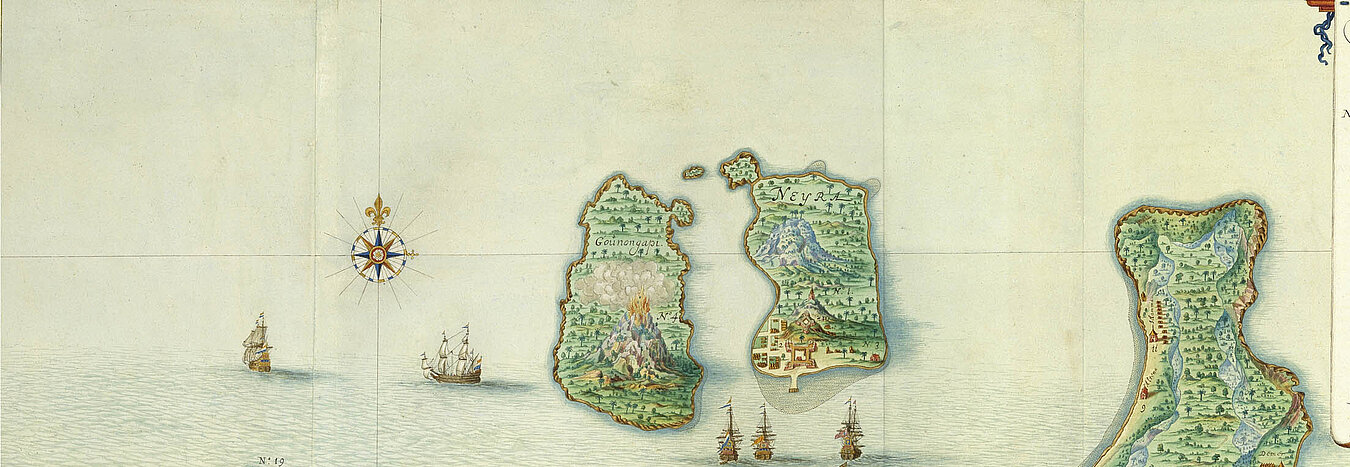
The Map Department at the Austrian National Library is one of the leading institutions of its kind in the world and an El Dorado for researchers, students and anyone interested in geography or simply suffering from wanderlust.

It consists of about 300,000 sheet maps, 45,000 topographic views, around 800,000 picture postcards, more than 820 globes, 100 geographical reliefs and models of castles and about 85,000 volumes of specialist literature and atlases.

History

  •     16th century: The Viennese Court Library was already collecting maps, atlases and books about geography.
  •     18th century: The map collection of Baron Philipp von Stosch, consisting of 324 volumes, and the library of Prince Eugene of Savoy, which included valuable cartographic material, were important additions to the collection.
  •     1906: Founding of the predecessor to today's Map Department, a special geography collection which brought together most of the geographical material from the Court Library. This was a time not only of targeted acquisitions but also of scientific study of the items.
  •     After the end of the First World War, the collection took over the extensive cartographic holdings of the former Habsburg Familien-Fideikommission, the Albertina Collection of Prints and Drawings and the Institute of Military Geography.
  •     In the inter-war years, the planned expansion of the collection of topographic views (“Vues” Collection) began, extending the range of items collected to include those from map-related and topographical imagery sources.
  •     1956: Opening of the Globe Museum, at that time still in the same premises as the Map Department.
  •     2005: Opening of the new Globe Museum on the piano noble of the Palais Mollard.
  •     2009: The Map Department was restructured to ensure compliance with the latest standards for conservation and ease of use.

Thank you for your understanding that our blog posts are available in German only.

Follow Chat
JavaScript deaktiviert oder Chat nicht verfügbar.